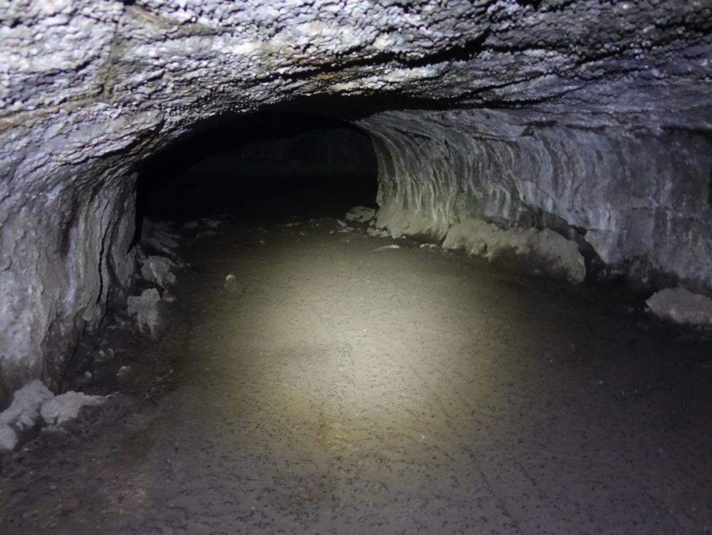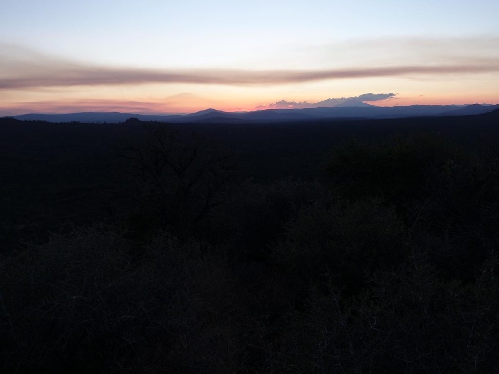
This section had a lot of milestones in it. We worked our way around Mount Lassen, and are finally north of the Dixie fire. We traversed Hat Creek Rim, one of the most notorious waterless stretches on the PCT. We also explored Subway Cave, a fantastic lava tube just north of Mount Lassen. Finally, this stretch brought us in view of Castle Crags State Park.
The stretch between Chester and Burney was a tough one. There was little shade as I passed through the northern portion of the Dixie Fire around Mount Lassen, followed immediately by Hat Creek Rim. Hat Creek Rim is a 30 mile waterless stretch with very little shade, and I did the worst of it in the afternoon, which was not ideal. Thankfully, the kind folks at the Trail Angel Café and Cache 22 provide two water caches for hikers to use, which makes the water carries only 14 miles at the longest.
The Dixie fire stretch was rough, but it had its nice points. The Lassen Volcanic NP stretch was particularly interesting, with the trail passing by a steam vent and sulfur lake. While not in the park, the Subway Cave was fantastic, a cool 46 degrees which was a nice reprieve from the building heat of the day.
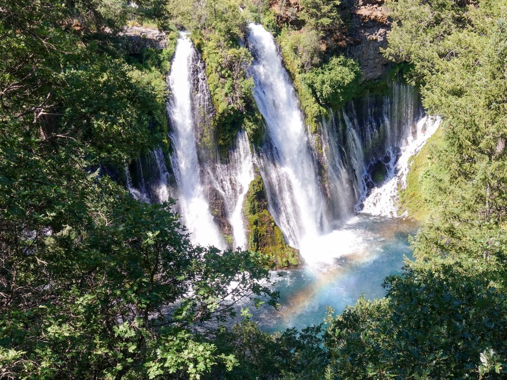
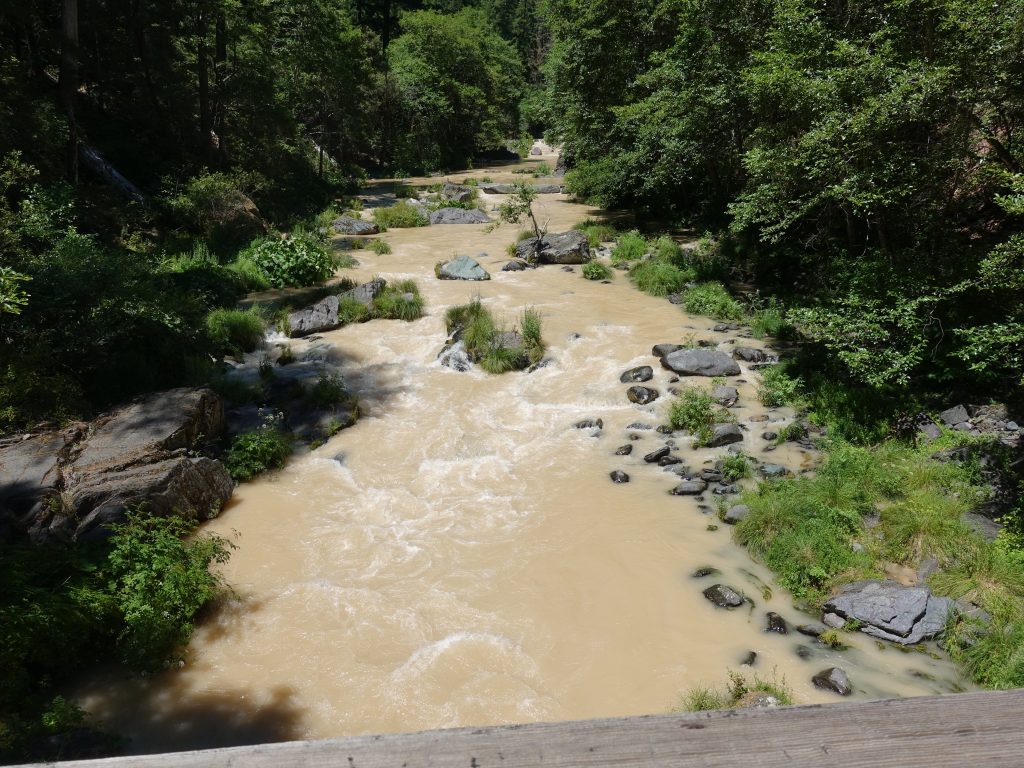
Leaving Burney, its a nice flat few miles before reaching Burney Falls, a fantastic 129 foot waterfall, and popular tourist destination. Then the climbing begins, and the trail returns to a more mountainous theme, with climbs and descents all the way to Mount Shasta and I5. Unfortunately, I seemed to hit all the climbs in the afternoon, and coupled with mid 90s heat, I was suffering through the climbs.
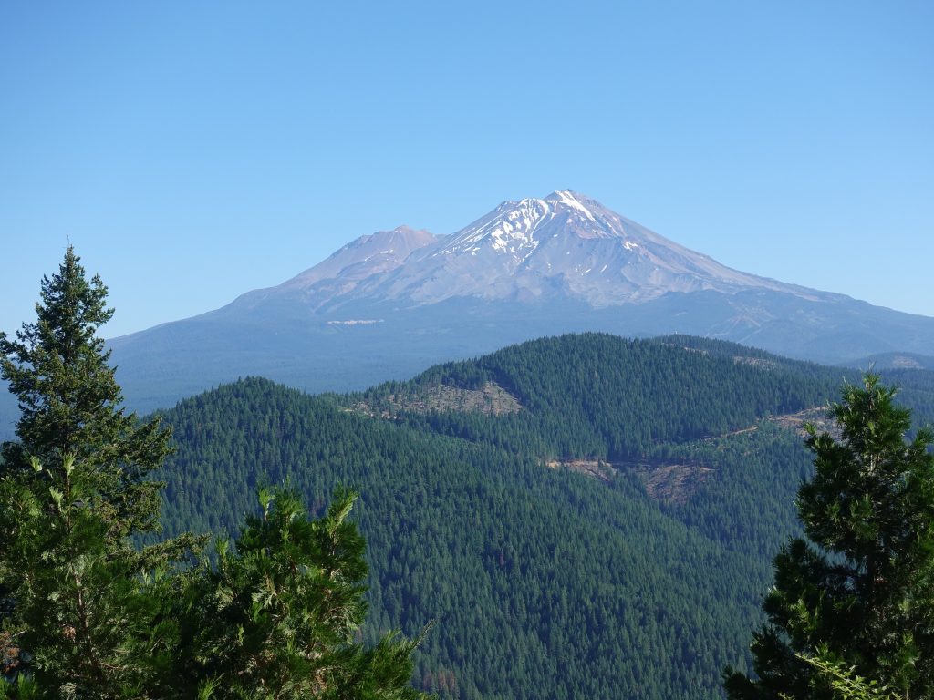
The views of Mount Shasta and Mount Lassen were fantastic though, and Shasta especially made itself known all through this section. I find Shasta is a lot like Rainer, a 14,000 foot peak surrounded by a lot of lower mountains, which makes it stand out like a beacon for hundreds of miles. Its not quite as glaciated as Rainer, but still harbors some snow patches.
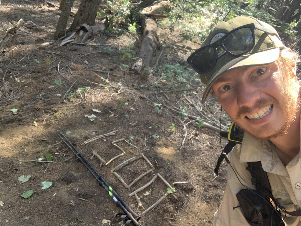
The miles have really been adding up. Since my last zero (day off) in South Lake Tahoe, I’ve walked 410 miles in 19 days, an average of 21.5 miles a day. This includes time spent resupplying, cleaning, and eating in towns, so my non-town day mileage has averaged closer to 25 miles a day. Unsurprisingly, this has taken a lot out of me, and I’m greatly looking forward to a day off. It’s hard to believe that I got my shoes only 25 days ago, and they are already worn out.
The final push through California is next, only about 200 more miles before it’s finally over.