NOTE: This text was originally uploaded in 2017 on my PNT hike. Lightly edited for typos.
Made it to Eureka, MT! Mile 131 (209 km). I’ve been in Eureka for 2 days now, healing up my feet from some blisters. Unfortunately, I ended up finding a ride out on National Forest Road 114 due to lack of foot care supplies for the next 2.5 days. The road is about halfway between Polebridge and Eureka, cutting off 30 miles of the Kootenai National Forest (NF) and the 10 Lakes scenic area, and ~ 10 miles of roads into town. I hope I’ll be back to finish the 40 miles I skipped after I finish, as Mt Wam and Stahl peak are supposed to be spectacular.
The first 55 miles brought me through Glacier NP, just south of Waterton, AB and about 3 hrs from Calgary. My dad joined me for this section, and we took it nice and slow, taking 6 days to reach Polebridge on the far side. Glacier was absolutely stunning. Every day was something new and amazing. The first two days brought us from Chief Mt Customs to Mokowanis Junction. Both fairly easy days in terms of distance, but it was HOT! The average temp was 90F (32C), but pushed to 95 some days, making hiking in the afternoon not a pleasant experience. Day 3 brought the longest day in the park at 14 miles (22 km), up and over Stony Indian Pass at 6900 feet. Despite the rangers fears of snow and ice for the last mile up to the pass (and us bringing ice axes and crampons), there were only a few small snow fields, no need for any special traction. We felt a bit silly carrying ice axes in 90 degree heat, but you know what they say – better safe than sorry. Days 4 and 5 were back to the usual short days ~7-8 miles (~11-12.5 km), as we went up and over Brown pass and down towards Bowman lake. The lake was incredible, with crystal clear blue water and impressive peaks in the background. Day 6 brought us out of Bowman lake and the park, all the way to Polebridge, again about 14 miles (22 km), though mercifully flat or downhill to the town. I also got my first taste of the PNT’s many roadwalks, as half the day was taking the access road from the Bowman lake foot CG to the town. A bit dusty, but putting in an earbud and playing some podcasts and audiobooks made the walk not too bad.
Polebridge is a quirky little town, completely off the grid. Consisting of only 3 business (A Saloon/Restaurant, the Mercantile, and the North Fork Hostel). I shipped a package to the Merc with my food for the next section, and enjoyed some of their famous Huckleberry Bear Claws. My dad and I spent the night in the hostel (A real bed and a hot shower!) with Shutterbug and Canyon before parting ways the next day.
Getting out of town is almost impossible it seems. Canyon and I managed to break out of town at 11:15, heading down the main road for 1.5 miles (~3km) before heading up into the Flathead NF on an access road. The road eventually turned into “trail”, which was really just an overgrown road. We eventually hooked up with the Ralph Thaler Memorial Trail # 26, taking it down to the Red Meadow CG, where we spent the night, doing 19 miles (30.5 km) that day. The next day brought some bonus miles after leaving camp. I made it up the road ~.8 miles from the CG before a guy in a truck pulled up. With a long waterless stretch coming up, I asked him about the water situation up the road, as the map indicated a few stream crossings. When he said there was no water at all, I had to turn around back to the CG, fill up my 4L, then go back and continue on. The ridge was 14 miles (22 km) with no water and easily 4000-4500 ft of gain and loss that day. Canyon and I were struggling in the heat of the day, and didn’t make it to Blue Sky Creek until 10 PM, just as the days light was fading. We made it just 16 miles. Thankfully, the next day brought an easy 5.4 miles (8.6 km) down to FR 114, though by then my feet were not in good shape, and the Vitamin I was being taken more and more frequently to keep myself moving. Canyon and I split ways, and I’ve spent the last 2 days in Eureka, MT resting and healing up my feet. With some new supplies (and lots of them!), I’m feeling better about the next section. I’m heading out of town today, hoping to make an easy 15 miles to the base of Webb Mountain, just off of Lake Koocanusa (A combination of Kootenai, Canada, and USA), though we’ll see what happens, and there are plenty of spots for a camp along the Tobacco river. The next update will likely be from Bonners Ferry, ID sometime next weekend, though there may be a small one when I make it to Yaak, MT midweek.
One thing that struck me was the amazing community of hikers who are on this trail. With a record 100+ (almost 3x the amount last year) hikers, I’ve been meeting and hiking with tons of cool people, and every hiker I meet is like meeting a friend. Everyone is willing to help out a friend in need, and we all want each other to succeed, sharing tips, trail info, and where the best spots to eat in town are. I’ve even got a trail name, “Blues Clues”, due to my knack of finding and returning things lost on the trail.

First sign at the first trailhead – The adventure is beginning!

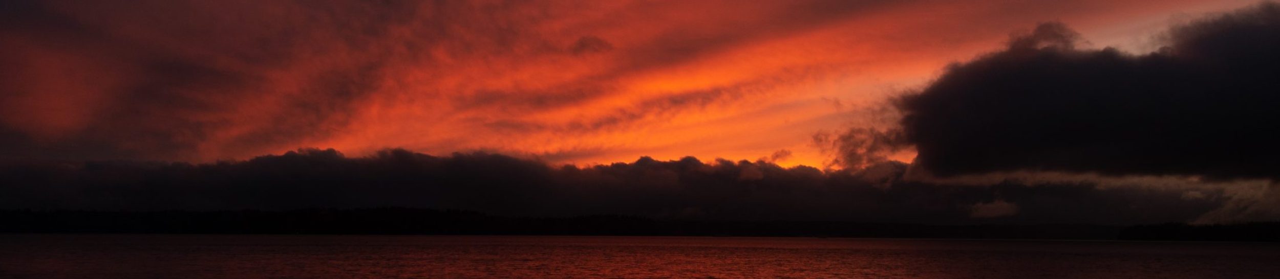
Panorama from the Gable Creek CG, looking (from left to right) south, west, and north.

Atsina Lake, coming up Stoney Indian Pass, looking down the valley, with the Mokowanis river in the background.
Stoney Indian lake still has some ice in it, even with 90F days

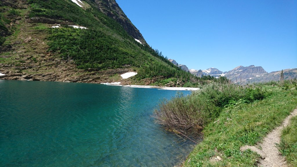
Lake Janet – Easily the most beautiful part of Glacier. Waterfalls, perfect turquoise water, spectacular cliffs. And if you take the ferry from Waterton townsite to Goat Haunt, it’s only a 12 mile round trip, easily done in a day.
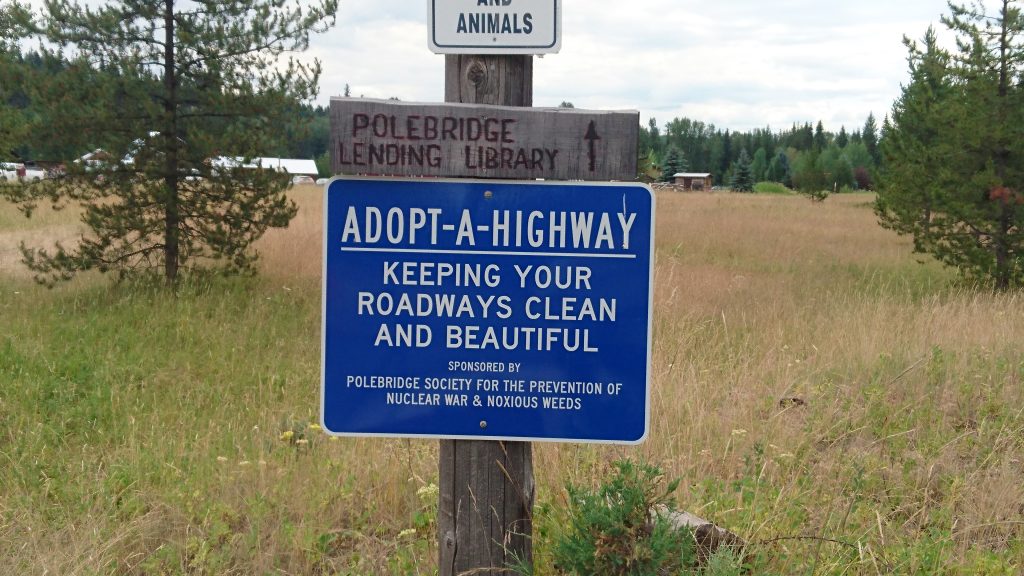
Leaving Polebridge, it’s a quirky little town. Would highly recommend.

A PNT sign! I was very impressed with how well signed the trail is so far.
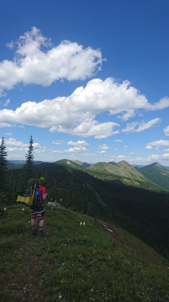
Canyon checking the maps in the Flathead NF.
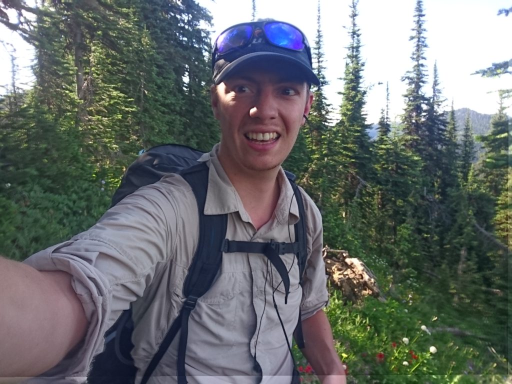
Listening to Dune to help me up and down the roller coaster of hills.

Beads dog Kera (AKA Kiwi), enjoying the park in Eureka.